 Subdivision Plats Subdivision Plat Drafting in Civil 3D: From Lot Layout to Recording-Ready Sheets
RLD · CAD Drafting Services
A subdivision plat is often the most scrutinized drawing a surveying firm produces. It is reviewed by the county, checked by the title company and relied on by every future owner of every lot. Drafting it well in Civil 3D means getting the geometry, the annotation and the local requirements right the first time, so the plat moves through review without repeated comments.
What a Subdivision Plat Has to Show
Requirements vary by county and state, but almost every plat includes the same core elements:
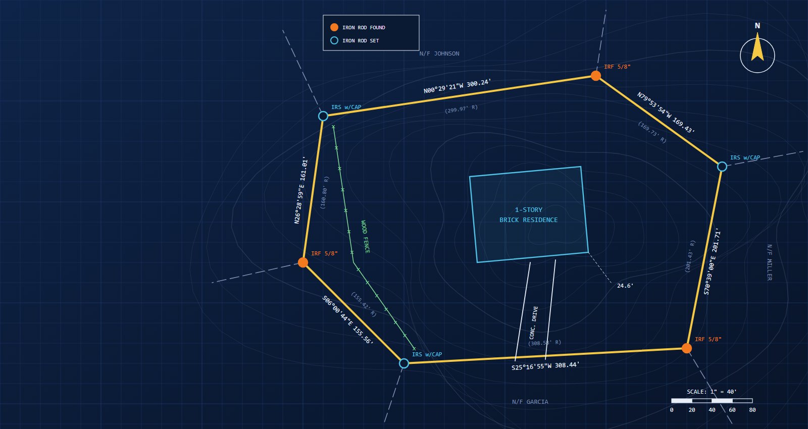
- The exterior boundary of the parent tract with bearings, distances and curve data
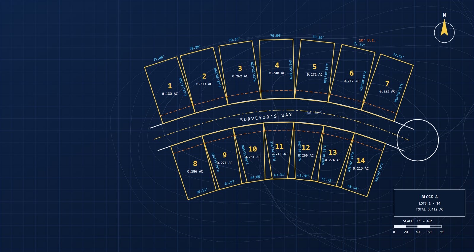
- Every lot and block, numbered, with complete dimensions and lot areas
- Rights-of-way, street names and widths
- Easements for utilities, drainage and access, with their purpose and width
- Monuments found and set, with a clear legend
- Basis of bearings, vicinity map, north arrow and scale
- Flood zone information where required
- Certificates, dedications, notes and signature blocks for the owner, surveyor and approving agencies
Building the Lot Layout in Civil 3D
We build plats with Civil 3D parcels instead of plain lines. Parcels keep the geometry and the labels connected, so a change to a lot line updates every affected dimension, area and table automatically.
- Set up the boundary from the closed, checked survey geometry.
- Lay out rights-of-way and lots using parcel tools, with frontage and minimum area checked against the zoning requirements.
- Check closures for every lot and for the overall boundary before any annotation is placed.
- Label segments and areas with consistent styles, using line and curve tables where the lots are too small for direct labels.
- Add easements and setbacks as separate, clearly styled linework.
Sheet Layout and Presentation
A plat has to be readable at its recorded size. That means choosing a scale that keeps labels legible, splitting large subdivisions across match-lined sheets, and keeping notes and certificates on a consistent cover or title sheet. Text heights, line weights and hatching follow the county's recording standards so the plat reproduces cleanly.
Common Review Comments to Avoid
| Comment | How to prevent it |
| Lot areas do not add up to the total | Generate areas from parcels and check the sum against the boundary area |
| Missing or conflicting curve data | Use a single curve table driven by the parcel geometry |
| Easement purpose not stated | Label every easement with its width and purpose |
| Illegible text at recording size | Plot a check print at the final sheet size before submittal |
How RLD Helps
We draft subdivision plats from your field data and boundary solution, following your templates and the local recording requirements. You review a clean, checked set and your surveyor of record signs and seals it. If your firm has a backlog of plats, send us a project for a free trial and see the quality for yourself.
Need help with a drafting project?
Send a sample and try our Civil 3D drafting free.