 Survey Workflow Field-to-Finish in Civil 3D: How Clean Field Codes Speed Up Survey Drafting
RLD · CAD Drafting Services
The fastest survey drafting starts long before anyone opens Civil 3D. When the field crew codes points consistently, Civil 3D can draw most of the linework, symbols and layers automatically. When codes are inconsistent, the drafter rebuilds the site by hand. Here is how a good field-to-finish setup saves hours on every project.
What Field-to-Finish Means
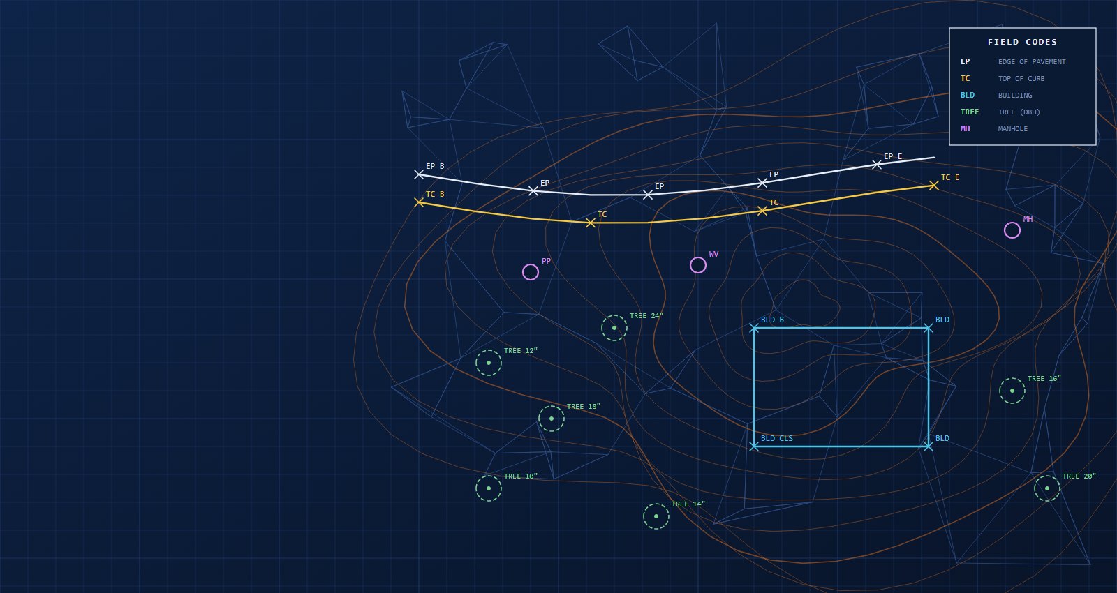
Field-to-finish is the process of turning coded field points directly into drafted linework and symbols. In Civil 3D it relies on three pieces working together:
- Description keys that assign layers, symbols and labels based on each point's code
- Figure prefixes that give linework such as curbs, walls and edges of pavement the right layer and style, and decide whether they act as breaklines
- Linework code sets that tell Civil 3D where lines begin, end, curve or close
Habits That Make a Big Difference
- Use one code library across all crews. Small variations such as EP, EOP and EDGE for the same feature break automation.
- Start and end lines explicitly. Clear begin and end codes prevent lines from jumping across the site.
- Mark curves and close figures. Curb returns and building corners draw correctly the first time.
- Record attributes in the field. Pipe sizes, tree diameters and structure types belong in the point data, not in notes on paper.
- Shoot breaklines where grade changes. Tops and toes of slopes, flowlines and ridges produce a far better surface than random ground shots.
Common Problems We See
| Problem | Result in the drawing |
| Same feature coded several ways | Objects land on the wrong layers and need manual cleanup |
| Missing end codes | Linework connects unrelated features |
| Ground shots coded as features | Spikes and pits in the surface and wrong contours |
| No benchmark or control noted | Elevations cannot be verified |
We Work With Your Codes
You do not need to change your crews' habits to work with us. Send us your code list or description key set and a sample job, and we will configure Civil 3D to match. If your codes have gaps, we can suggest small changes that make your drafting faster, whoever does it.
How RLD Helps
We process your raw field data into finished topographic, boundary and ALTA/NSPS drawings, following your standards from the first point to the final sheet. Send us a project and see how quickly clean field data becomes a finished drawing.
Need help with a drafting project?
Send a sample and try our Civil 3D drafting free.